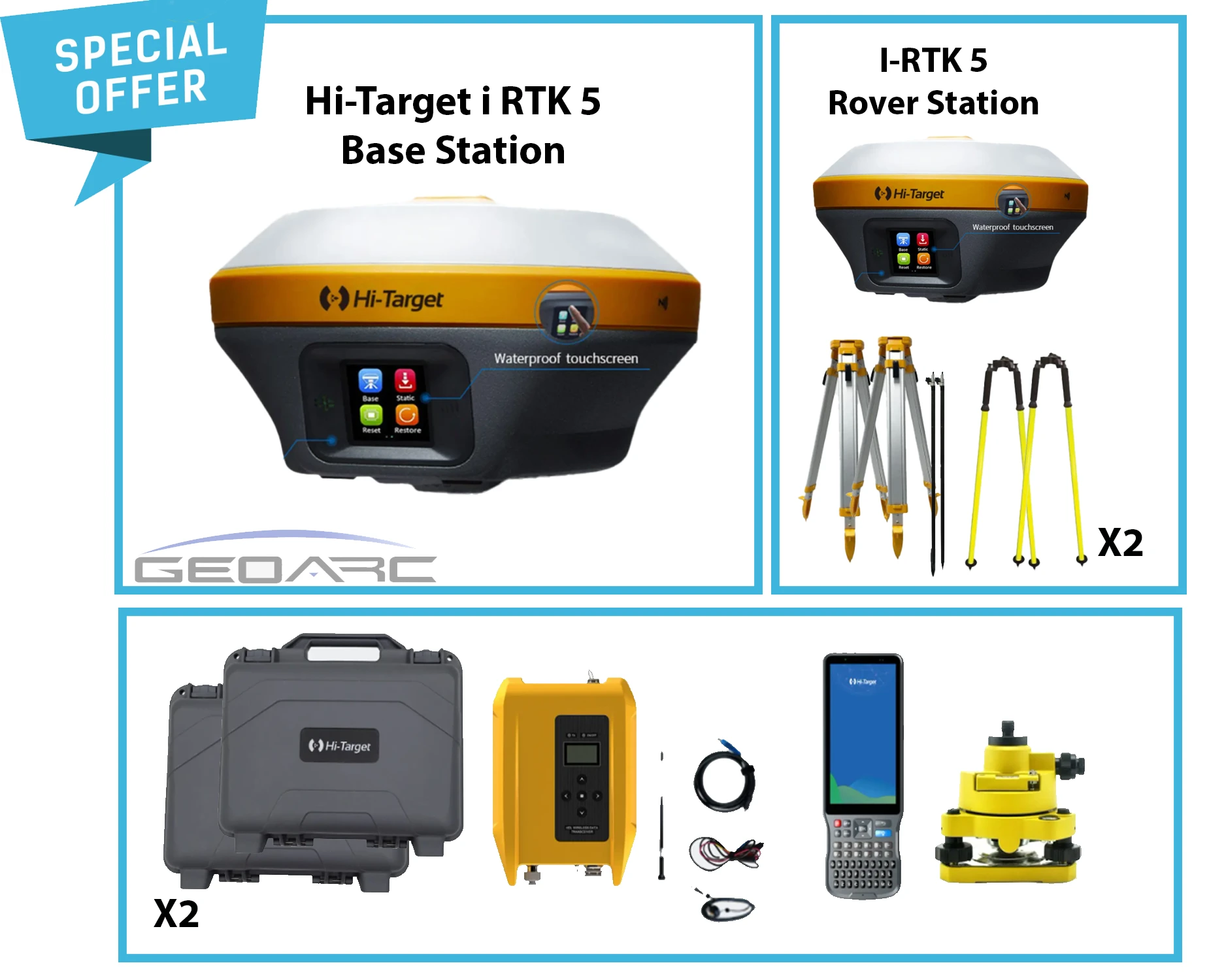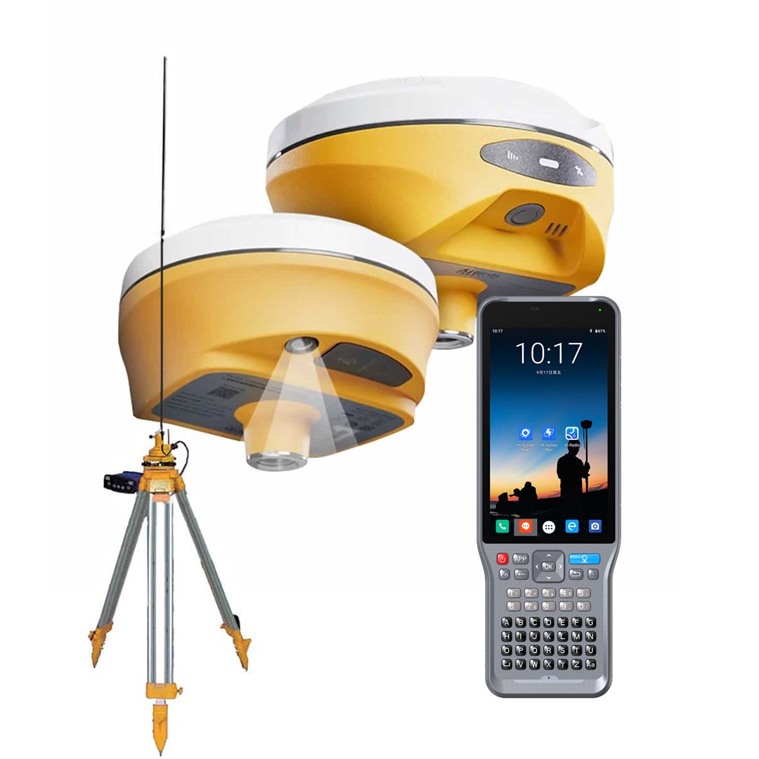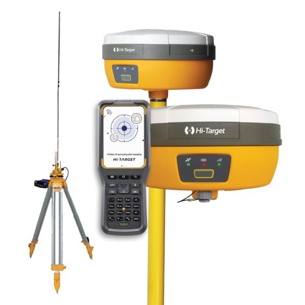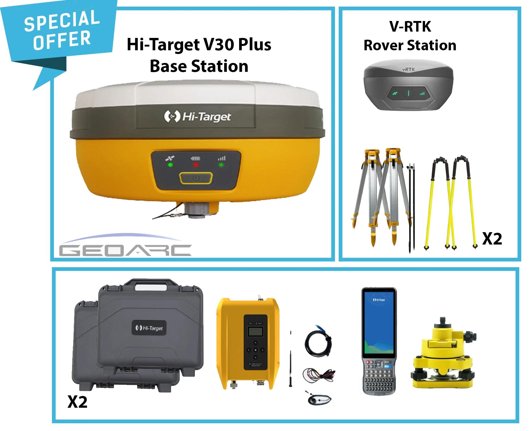
Full specification and field notes.
Hi-Target vRTK: see the point, move your survey forward
Bring visual guidance to your fieldwork with the Hi-Target vRTK GNSS RTK receiver. Designed for survey and construction teams, vRTK combines satellite positioning with camera-based workflows for topographic surveys, road projects and point stakeout in the UAE.
More flexibility in the field
- Dual-camera visual surveying: collect points through images without placing the pole directly on every target.
- Live View Stakeout: use camera-assisted guidance to locate design points on site.
- IMU tilt measurement: collect survey points with a tilted pole.
- Multi-constellation GNSS: track signals from multiple satellite systems for your RTK workflow.
For surveyors and construction teams
Use vRTK for topographic mapping, cadastral surveys, road works and construction layout. Image surveying expands your options when direct access to a point is difficult, subject to suitable visibility and measurement conditions.
Local support from GeoArc
GeoArc offers local warranty and field training. Contact our team for the applicable terms, available configuration and the controller, software and accessories included in your quotation.
Receiver specifications vary by version. Measurement performance depends on satellite visibility, correction availability and site conditions.
Request your vRTK quotation in the UAE
Tell GeoArc about your next project. We will help you confirm the required setup, check availability and obtain a quotation for your Hi-Target vRTK.
Tell us the emirate and quantity.
GeoArc replies with a local package: instrument, training and delivery.
Reviews from survey crews
Be the first crew to leave a field note.